# Map Tor relays using Cartopy
Create a map showing the geographic location of the Tor relays
## Setup
1. Create a venv: `python -m venv venv && source venv/bin/activate`
2. Install requirements: `pip install -r requirements.txt`
## Get the data to create the map
You'll need two files:
1. The Tor consensus you want to use. Download one at: https://metrics.torproject.org/collector/recent/relay-descriptors/consensuses/
2. The _GeoLite2 City_ file from MaxMind (not the CSV format). See their website to create an account and get the file: https://dev.maxmind.com/geoip/geolite2-free-geolocation-data
## Run the program
The program takes two arguments: the filename of the consensus and the filename of the GeoLite2 mmdb file.
```shell
python map.py 2024-03-27-13-00-00-consensus GeoLite2-City.mmdb
```
A third (optional) parameter can control the density of the clusters. The default is 1.5 and generally gives nice maps.
The higher the value, the bigger the clusters.
```shell
python map.py 2024-03-27-13-00-00-consensus GeoLite2-City.mmdb 1.5
```
## Using OSM data (optional)
It is possible to use data from OpenStreetMap as background (instead of the default cartopy image).
Check the code and the `TODO` comment to enable that. If you use OSM data and Mapbox as suggested in the comment,
please use attribute it properly.
The following attribution line is generally enough:
> © Mapbox © OpenStreetMap Improve this map
## Attribution
This attribution or a similar should be included when you use this script with MaxMind data.
> This product includes GeoLite2 Data created by MaxMind, available from https://www.maxmind.com
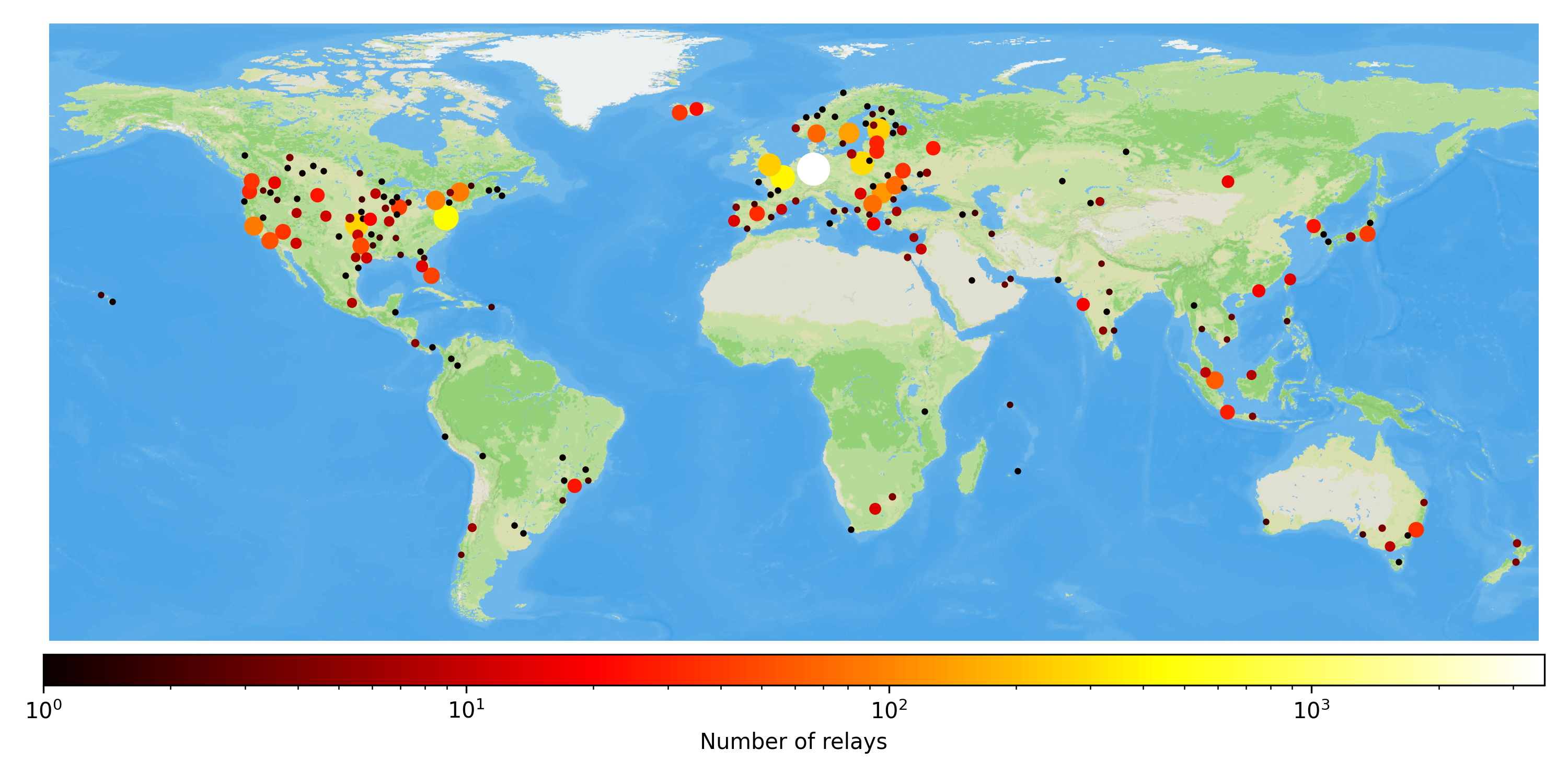
## Examples of maps
### Default cartopy background
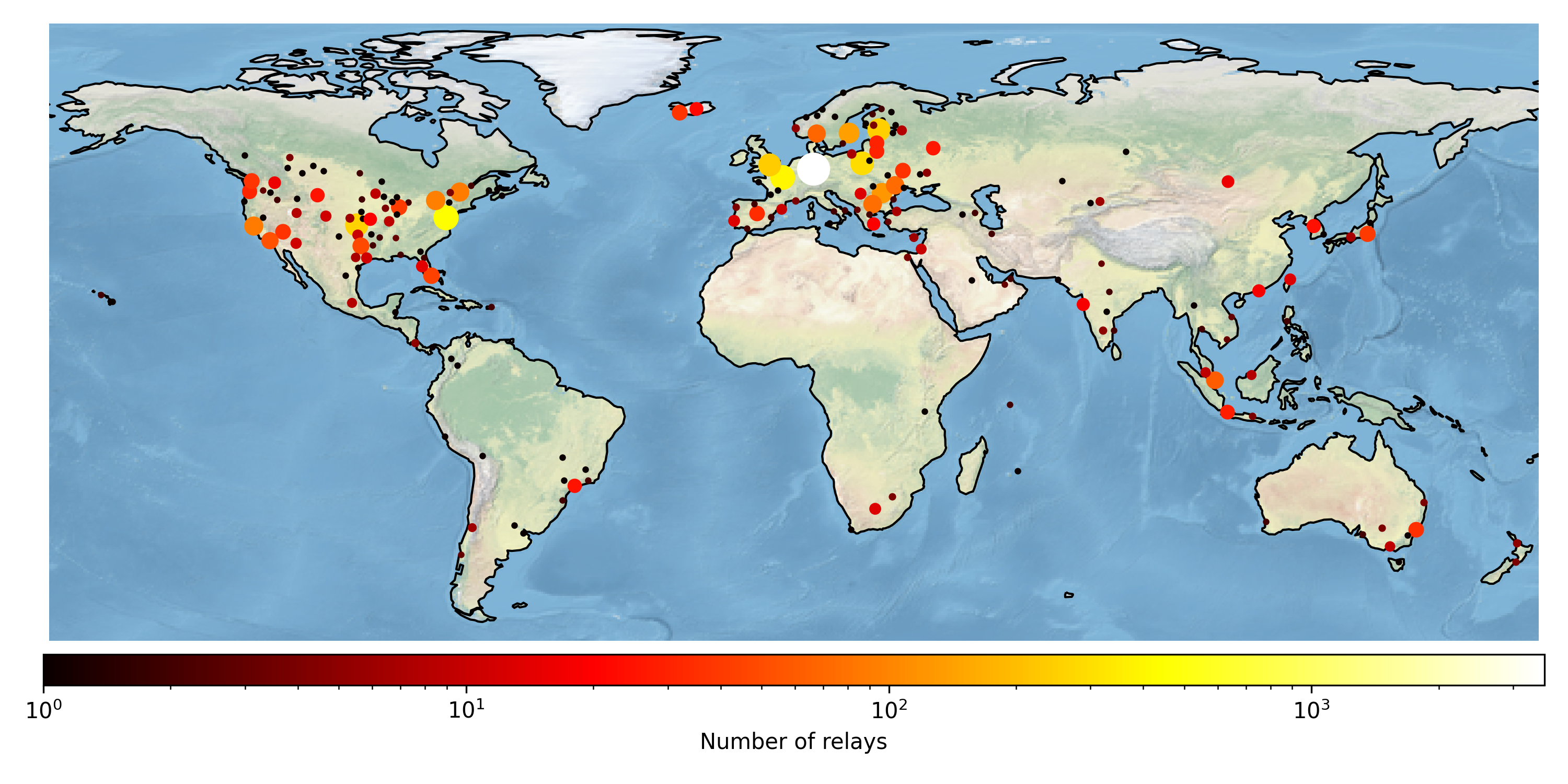
### With a custom style from MapBox